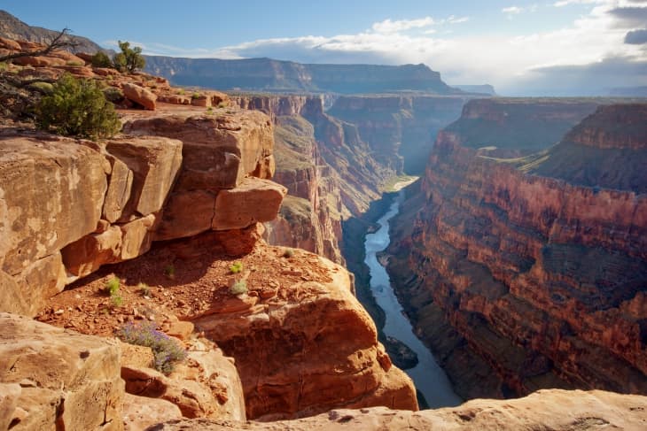
You Can Virtually Hike Grand Canyon National Park and See the Colorful Rock Layers Up Close

If you’re yearning for the great outdoors and want to be transported to another land, you’re in luck. Anyone with an electronic device can virtually travel to one of the most iconic national parks across the country: the Grand Canyon.
Thanks to Google Earth, users can enter the Grand Canyon National Park with the click of a button. You get to visit 18 stops throughout the grand tour, letting you witness the hanging cliffs, canyon walls, and panoramic views that the park is famously known for.
You begin the tour on Bright Angel Trailhead, a 7.9-mile trek that links Colorado River to South Rim. After making your way up the steep slope and catching a view from above, make your way to the next stop: Maricopa Point, complete with panoramic views and an old copper and uranium mine.
And there are many more stops where that came from (15, to be exact). Each one reveals a new perspective of the rock formations, plus a few attractions that you might not have known existed. Check out a 800-year-old ruins of an Ancestral Puebloan village, and walk across a suspension bridge that extends over Colorado River.
In addition to the Grand Canyon, Google Earth also offers tours of 30 other national parks across the U.S., from Yosemite to Badlands and Joshua Tree. So once you’re done with the Grand Canyon, there’s still plenty of exploring left to do.